- 中文版:
- EI 100%收录
- 英文版
- SCI 100%收录


中国出版政府奖提名奖
中国百强科技报刊
湖北出版政府奖
中国高校百佳科技期刊
中国最美期刊
中国出版政府奖提名奖
中国百强科技报刊
湖北出版政府奖
中国高校百佳科技期刊
中国最美期刊
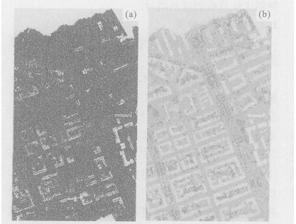
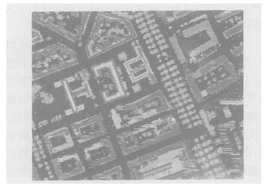
| Citation: | LIU Xiu-guo, ZHANG Jing, GAO Wei, CHEN Qi-hao, 2006. Extract Buildings Quickly from Lidar Point Cloud Data. Earth Science, 31(5): 615-618.

|

|
Ben, G., 2002. Segmentation of TIN-structured surface models. ISPRS WG IV/6, joint conference on geo-spatial theory, processing and applications. Ottawa, Canada.
|
|
Elberink, S. O., Maas, H. G., 2000. The use of anisotropic height texture measures for the segmentation of airborne laser scanner data. IAPRS, 33: 678 -684.
|
|
Filin, S., 2002. Surface classification from airborne laser scanning data. IAPRS, 34: 119 -124.
|
|
Roggero, M., 2002. Object segmentation with region growing and principal component analysis. IAPRS, 34: 289 -294.
|
|
Zhang, K. Q., Chen, S., Whit man, D., et al., 2003. Progressive morphological filter for removing nonground measurements from airborne Lidar data. IEEE Transactionson Geoscience and Remote Sensing, 41 (4): 872 -882. doi: 10.1109/TGRS.2003.810682
|
|
Zhang, X. C., Huang, Z. C., Zhao, Y. H., 1996. Remote sense digital image process. Zhejiang University Press, Hangzhou. 291 -294 (in Chinese).
|
|
章孝灿, 黄智才, 赵元洪, 1996. 遥感数字图像处理. 杭州: 浙江大学出版社. 291 -294.
|
Figures(6)


 DownLoad: